
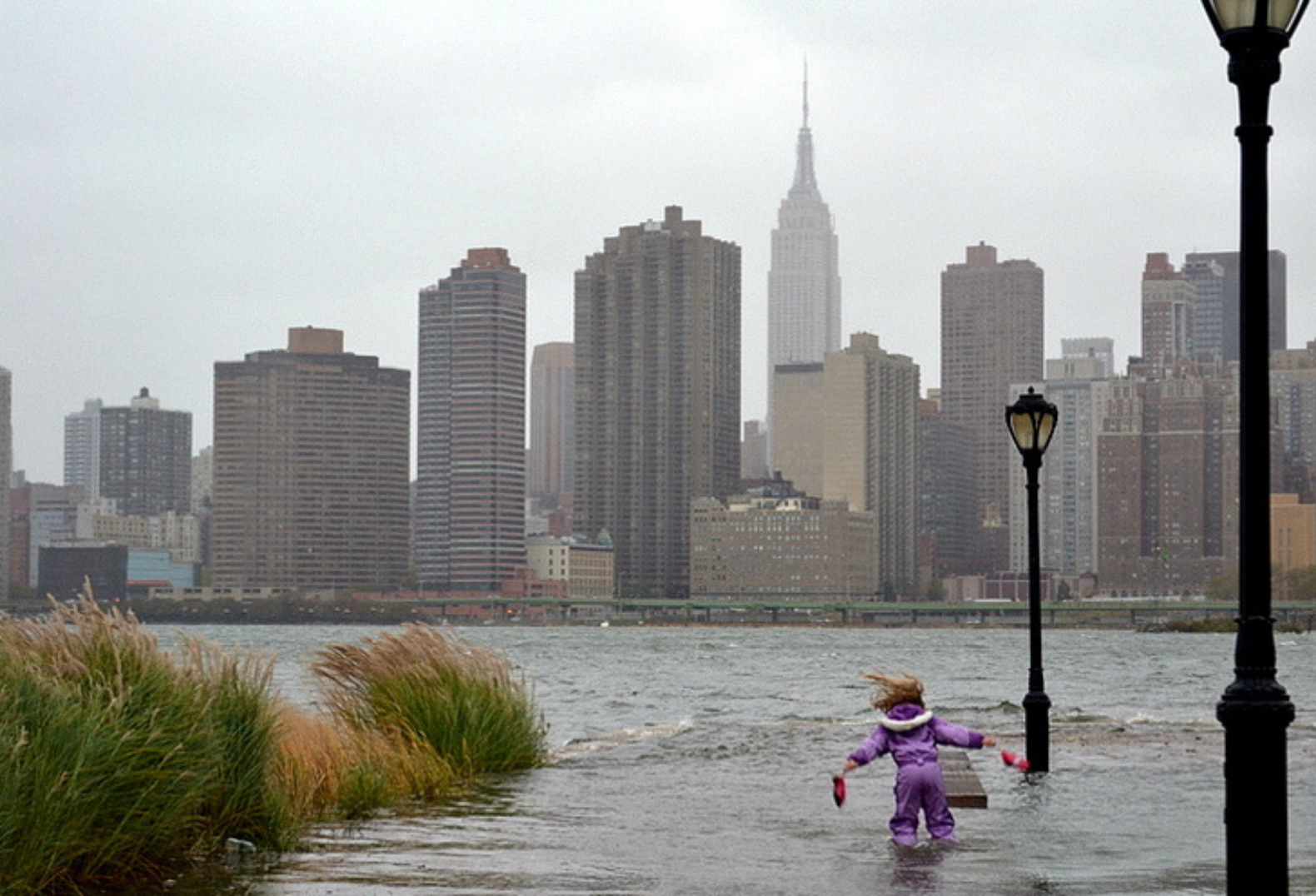
With increasingly large rain events and Hurricane Sandy, New York City has responded to climate change and threats to river banks and adjacent parks by creating Design and Planning for Flood Resiliency: Guidelines for New York Parks. This 150 page handbook is available free by following this link.
New York City has a long history of making their guidelines and work available for other planners, agencies and communities to use. The interdisciplinary manual caters to the situation of parks within New York City but provides a great reference for creating resilient park planning and design along waterfronts.
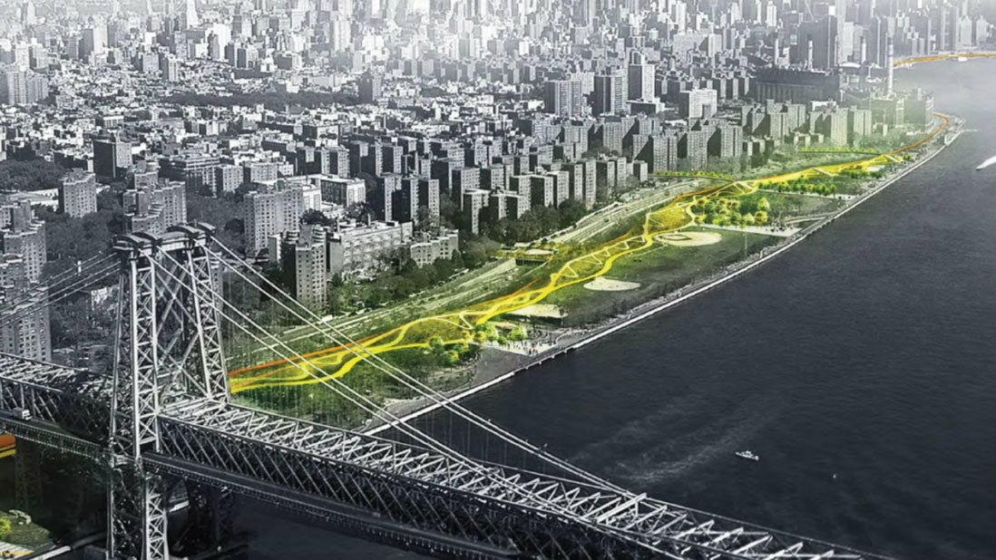
New York City’s philosophy about waterfront park design is that the parks must handle the volume and normal use associated with daily visits, but still perform well during a significant climatic event. The manual looks at different waterfront park types and suggests best practices including design details and plant lists suitable for these coastal conditions. By “bolstering urban ecosystems and adapting edges for sea rise” the guidelines help inform landscape decisions for creating flood resilient park spaces on any water’s edge.


I’ve sometimes wondered about such a thing here. Shouldn’t Northwest Marine Drive and Quebec Street be raised in order to double as dikes?
Or, along NW Marine Drive, build a dike from Locarno to the hill up to UBC. Put it at the edge of the beach, and put walking and cycling paths on top of it. Leave the road where it is, but avoid having to continually rebuild it with spring tidal floods.
Someday just to protect the False Creek Basin from sea level rise, we may need a sea dyke across English Bay from the foot of Broughton Street to the escarpment just west of Vanier Park in Kitsilano. This barrier will make a good walk walkway / bikeway between Kits and the West End. We will also need a ships lock between English Bay and False Creek for marine traffic.
To prevent city flooding from Burrard Inlet we will need a sea wall from the Convention Centre to the Wall Street escarpment a distance of about three miles, built generally along the alignments of Waterfront Road, Centennial Road, and Stewart Street. The jagged edge of the shoreline north of the rail lines is seven to eight miles long. What to do?
Area below sea level in the protected zone will require the constant pumping of storm water draining into False Creek from the much larger surrounding False Creek Basin. The salinity of False Creek which was once an ocean tidal flats will change to a fresh water reservoir with corresponding changes to marine life and vegetation.
Author
Reblogged this on Sandy James Planner.