
Here’s an intriguing map, produced by Mike Kushnir, a UBC geography student with an even more intriguing blog – Twilight City.

It demonstrates, not surprisingly, the relationship between population density and rail service, including those areas where rail service is planned. What makes it even more useful: it has all the rail lines in the region clearly expressed on one map. I’ve actually never seen that before.
You can get the enlarged version of the map here.
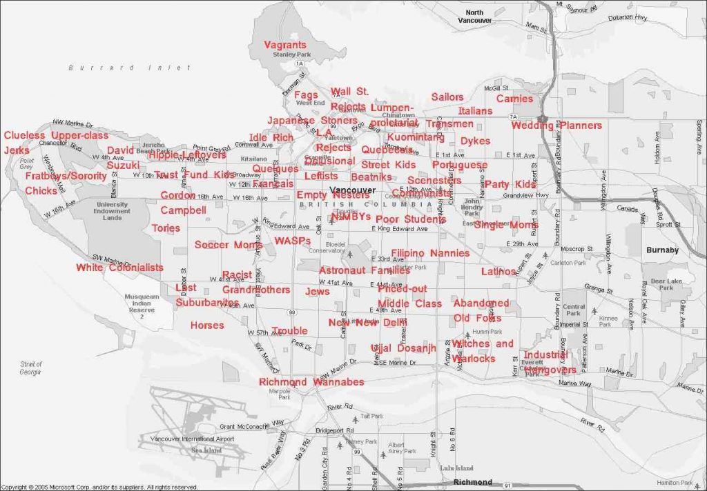
And if that’s too earnest for you, then check out this ‘ironic cartography’ of Vancouver’s neighbourhoods:


Yes, but the last thing we need is to feed the naive belief that rail, any rail, somehow triggers and supports density. This delusion that leads too many advocates to advocate mediocre rail projects in situations where bus-based solutions provide more mobility — e.g. more extensive networks for a given level of investment. The debate in Surrey between Translink’s Bus Rapid Transit agenda and the sentimental advocates of the old rail corridor is a case in point.
Many of the freight rail lines on the map were indeed important in growing towns like Abbotsford a century ago, as were many Vancouver streetcar lines not shown on the map, but that doesn’t mean that they are the most cost-effective solution under the very different economic conditions of today.
What supports density is good public transport mobility, regardless of mode. The dramatic density across most of the City of Vancouver, including many rail-less areas, is a tribute to the sexless but very heavily used grid bus system covering the city, and the way it interacts with high-volume rail services such as Skytrain. Where the transit market has grown beyond what buses can handle — as on Broadway — you have a demand-driven case for rail despite its very high capital cost, and I agree this should be a priority. But if this map feeds the delusion that only rail-based projects will support the prosperity of Ladner or White Rock or West Vancouver, then its impact will be negative, on balance, for all the environmental benefits of public transport that we profess to support.